Nkosikhona Ndhlovu
About Me
I am a GIS and Remote Sensing Specialist with extensive experience in geospatial analysis, land assessment, and property technology. My work bridges the gap between traditional real estate and data-driven intelligence, providing buyers, sellers, and developers with insights that go far beyond what the eye can see.
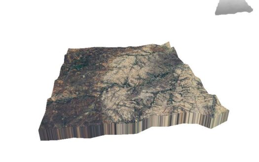
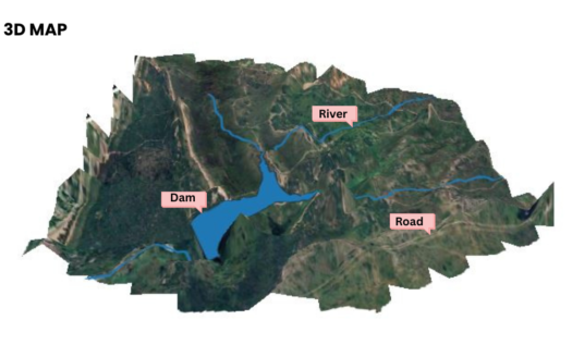
Every property I handle is enhanced with professional geospatial analysis, including underground water potential mapping, soil health assessment, flood risk modeling, 3D terrain visualization, and slope stability analysis.
My technical toolkit includes advanced GIS software, remote sensing data processing, and spatial modeling techniques that uncover hidden risks and opportunities in land transactions. Whether analyzing wetland buffers for regulatory compliance or modeling drainage patterns for development planning, I bring scientific rigor to every assessment.
I specialize in land, farms, and conservation properties, helping clients make informed decisions based on verified data rather than guesswork. My goal is to bring transparency, accuracy, and confidence to Zimbabwe’s real estate market.
Specializations: Land Suitability Analysis | Water Potential Mapping | Flood Risk Assessment | 3D Terrain Modeling | Soil Classification | Development Planning